visites Published on 5 May 2026
Arromanches Cliffs: Walks on the Coastal Path
Walking loops from Arromanches: the GR223 path, clifftop viewpoints, orientation table and views over the Mulberry harbour. Our tide and kit tips.
Arromanches-les-Bains is famous for its history, but the village is also a wonderful starting point for walking. On either side of the beach, the Bessin cliffs frame the bay and, from their heights, offer one of the finest views in Normandy over the remains of the artificial harbour. Here is how to plan your walks along the coastal path, straight out on foot from the centre of the village.
What is the GR223 coastal path?
The GR223, sometimes known as the "customs officers' path", is the long-distance trail that hugs the Normandy coast for several hundred kilometres, from the Seine estuary all the way to Mont-Saint-Michel. In the Calvados, it crosses the D-Day beaches and passes through Arromanches, running between Courseulles-sur-Mer to the east and Port-en-Bessin and then Omaha Beach to the west.
Good news for occasional walkers: there is no need to string together full stages. From the village, several short loops let you sample the path in half a day, or even in an hour or two. The official waymarking (red and white rectangles) and up-to-date routes can be found on the French ramblers' federation website, Mon GR.
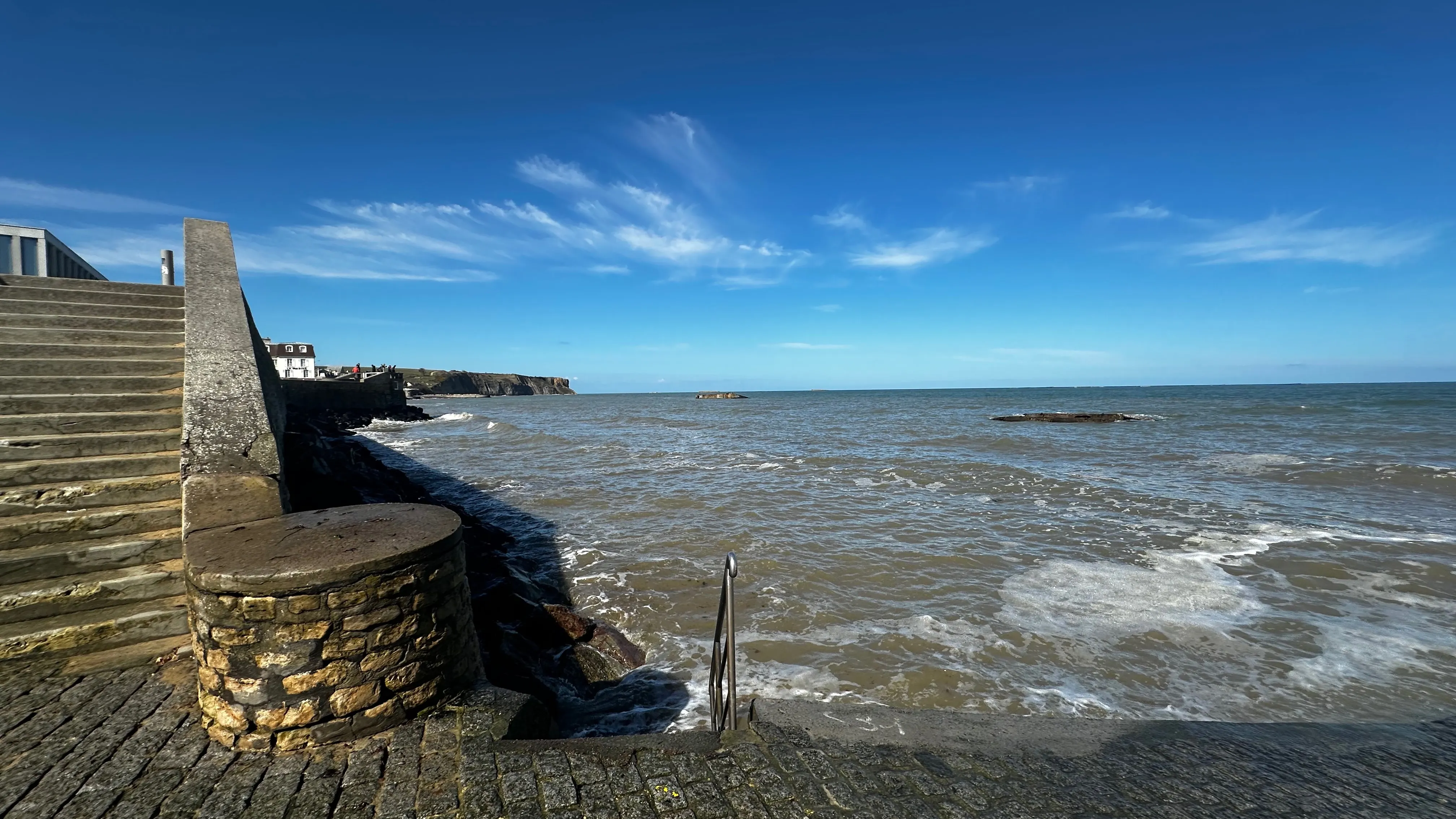
Where is the best viewpoint over the artificial harbour?
The answer is just a few minutes' climb away: the eastern cliff at Arromanches. From the centre, follow the street that climbs towards the circular cinema Arromanches 360, perched on the plateau above the village. Up there, a purpose-built viewpoint with an orientation table takes in the whole bay: the Phoenix caissons that still trace the arc of the Mulberry harbour, the beach below, and on a clear day the coast as far as Courseulles.
It is the best place to grasp at a single glance the sheer scale of the Mulberry artificial harbour at Gold Beach: what you sense from the beach finally makes full sense here. Come twice if you can — at high tide, when the caissons seem to float, and at low tide, when the nearest remains emerge from the sand.
A short loop along the eastern heights
To turn this viewpoint into a proper walk, carry on along the path eastwards towards Saint-Côme-de-Fresné and Asnelles, following the cliff, before returning to Arromanches along the shore when the tide allows. Allow one to two hours depending on your pace and your photo stops — there will be many, so warn your companions.
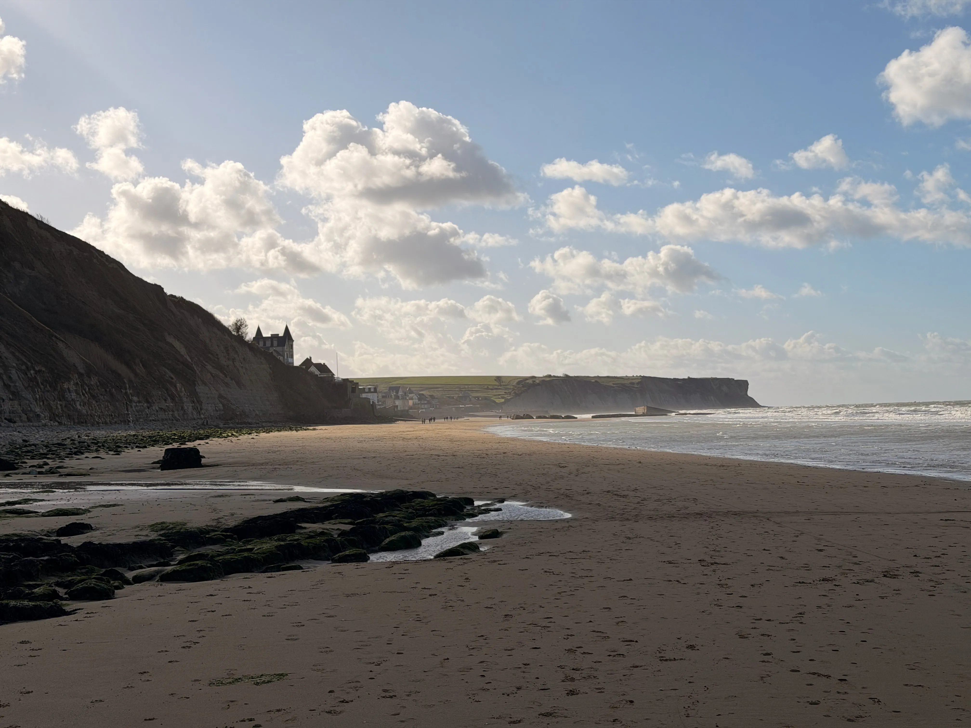
What is there to see westwards, from Cap Manvieux to Longues-sur-Mer?
West of the village, the landscape changes: the coast rises towards Cap Manvieux and grows wilder. A loop of around 7.5 km (allow roughly 2 hr 30, with moderate elevation) links Arromanches to the heights of the cape, through a protected natural site, before descending again. The return along the beach, however, is only possible at low tide: be sure to check the timetables before setting off.
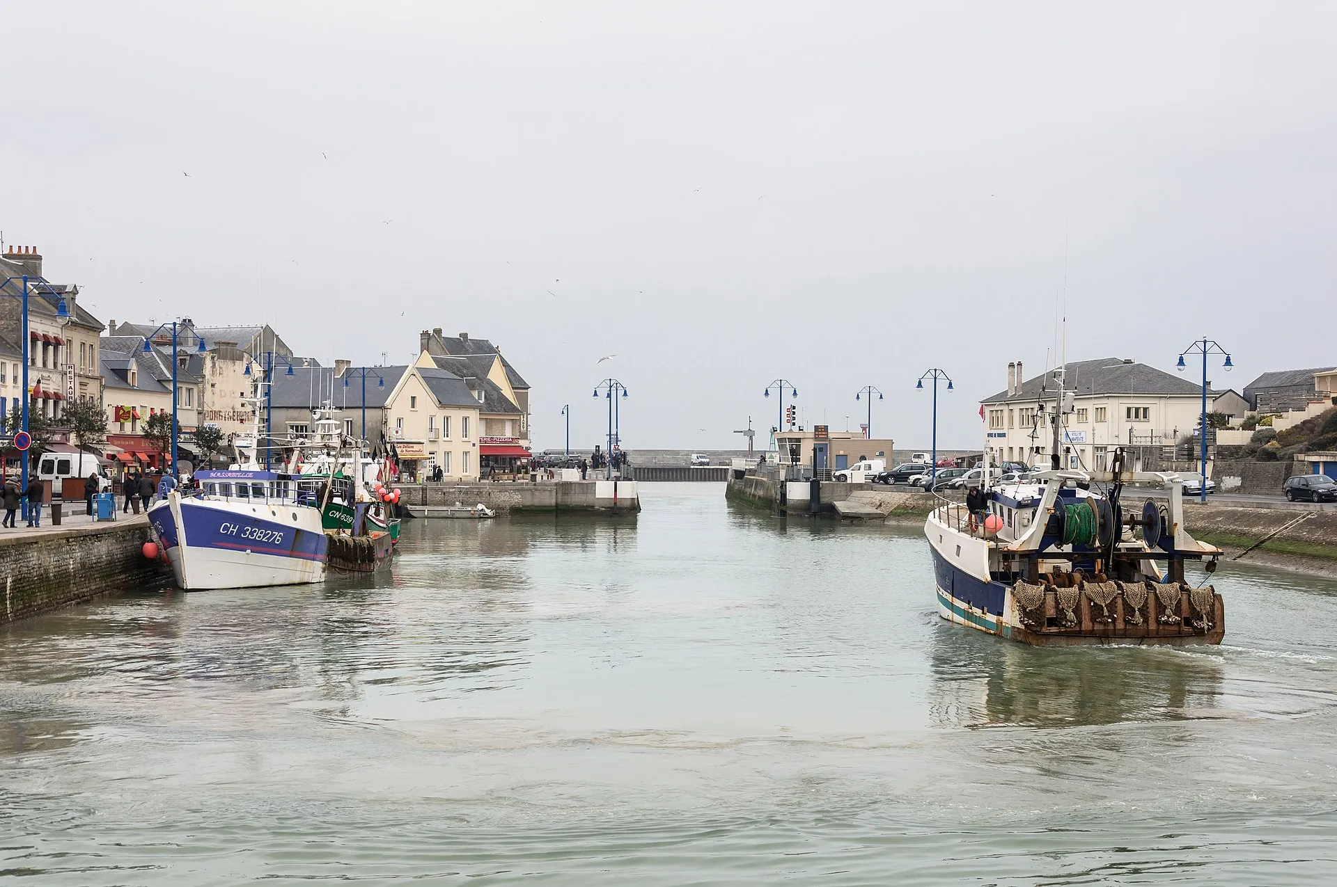
Continuing westwards, the path leads to the edges of the German battery at Longues-sur-Mer, the only coastal battery in Normandy to have kept its original guns — a stop that adds a powerful historical dimension to the walk. The most energetic can aim for Port-en-Bessin, a pretty fishing harbour, and return by bus or in a car left there in advance.
One word of caution: because of rockfall risk, some sections of the clifftop path between Arromanches and Port-en-Bessin have been closed by prefectural order and the route has been diverted inland, notably along a greenway. Follow the waymarking in force and the barriers to the letter: the detours exist for good reasons.
Do you need to take the tides into account when walking at Arromanches?
Yes — and it is the golden rule of the Bessin coast. The tidal range is considerable on Gold Beach: a vast beach at low tide can disappear almost entirely a few hours later.
- Check the tide times before every outing, on the official SHOM website or with the tourist office.
- Never set out onto the foreshore on a rising tide if you plan to return along the beach: keep the clifftop route as a fallback.
- Do not go near the foot of the cliffs: rockfalls happen regularly, especially after rain.
- Up on top, stay on the waymarked path, well back from the edge: the brink is crumbly in places.
What kit should you bring for the coastal path?
Nothing alpine, but a few basics make the outing far more enjoyable:
- Walking shoes or trainers with a good grip: the grassy paths are slippery after rain, and the foreshore crossings are uneven.
- A waterproof windbreaker, even when fine weather is forecast — the Normandy sky has its temperament, and that is part of what makes the light here so beautiful.
- Water and snacks: there are few places to stock up between Arromanches and Port-en-Bessin.
- Binoculars, if you have them: to pick out the caissons of the artificial harbour and watch the coastal birds.
- A look at the weather and tides on the morning itself.
In spring and summer, set off early or in late afternoon: the low-angled light on the cliffs and the bay is superb, and you will meet fewer people at the viewpoints.
And after the walk?
The beauty of Arromanches is that everything is within walking distance. Back from your loop, you can follow up with a visit, a crêpe or a seafood platter facing the beach. And if the rain sets in, the village museums take over.
Staying in Arromanches, at the foot of the path
Sleeping here means being able to climb to the viewpoint at first light and come back down for breakfast. Our studio in Arromanches, a stone's throw from the beach and the start of the paths, is an ideal base for exploring the Bessin coast on foot. Check availability and get your walking shoes ready.